
Just in case, I’ve written a quick primer to make sure that everyone is up to speed. Maps are important- they communicate spatial information better and faster than writing, talking, or any other method of communication. Perhaps everyone should learn a little cartography and map reading, just as we all spend time learning to read and write.
Scale
Scale refers to the amount of detail in a map. On a paper map, you can compute
the scale as the ratio between two objects on the map, divided by the true distance
between these objects on the ground, in the real world.
|
Scale = map distance / ground distance |
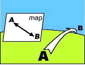
It is possible to communicate many types of information through a map. Here are a few examples. You can click on each image to go to the web site that provides these maps.
| Travel Directions | Census Information | Aerial Photographs |
Map
of the TU Campus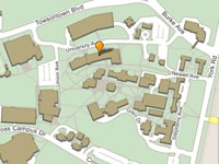 |
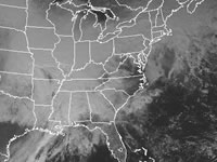
Weather
Maps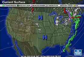 |
Copyright
©2011 Martin Roberge. |